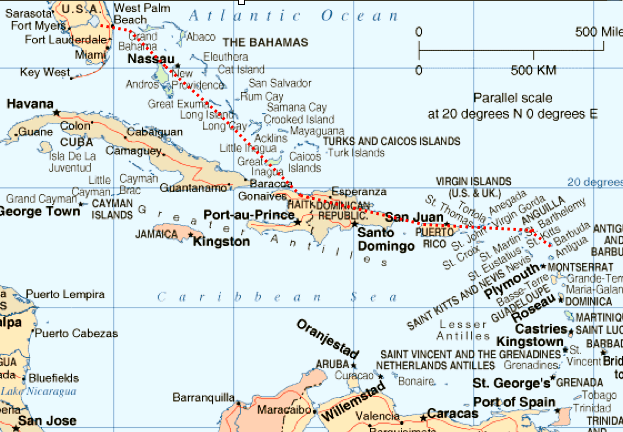
Two things were immediately apparent: it was a long way and there was a lot of water to fly over. Careful planning was essential and information gathering began immediately. Discussion with Thierry Pouille at Air Journey was very helpful in planning and yielded a great overnight stop : TJBQ, Borinquen in Puerto Rico. His gracious assistance is much appreciated. During the previous week, unanswered phone calls and e-mails to Great Inagua (our planned fuel stop and the last "out-island" in the Bahamas) indicated it was definitely "not on the grid" so we nixed this stop on the outbound trip.
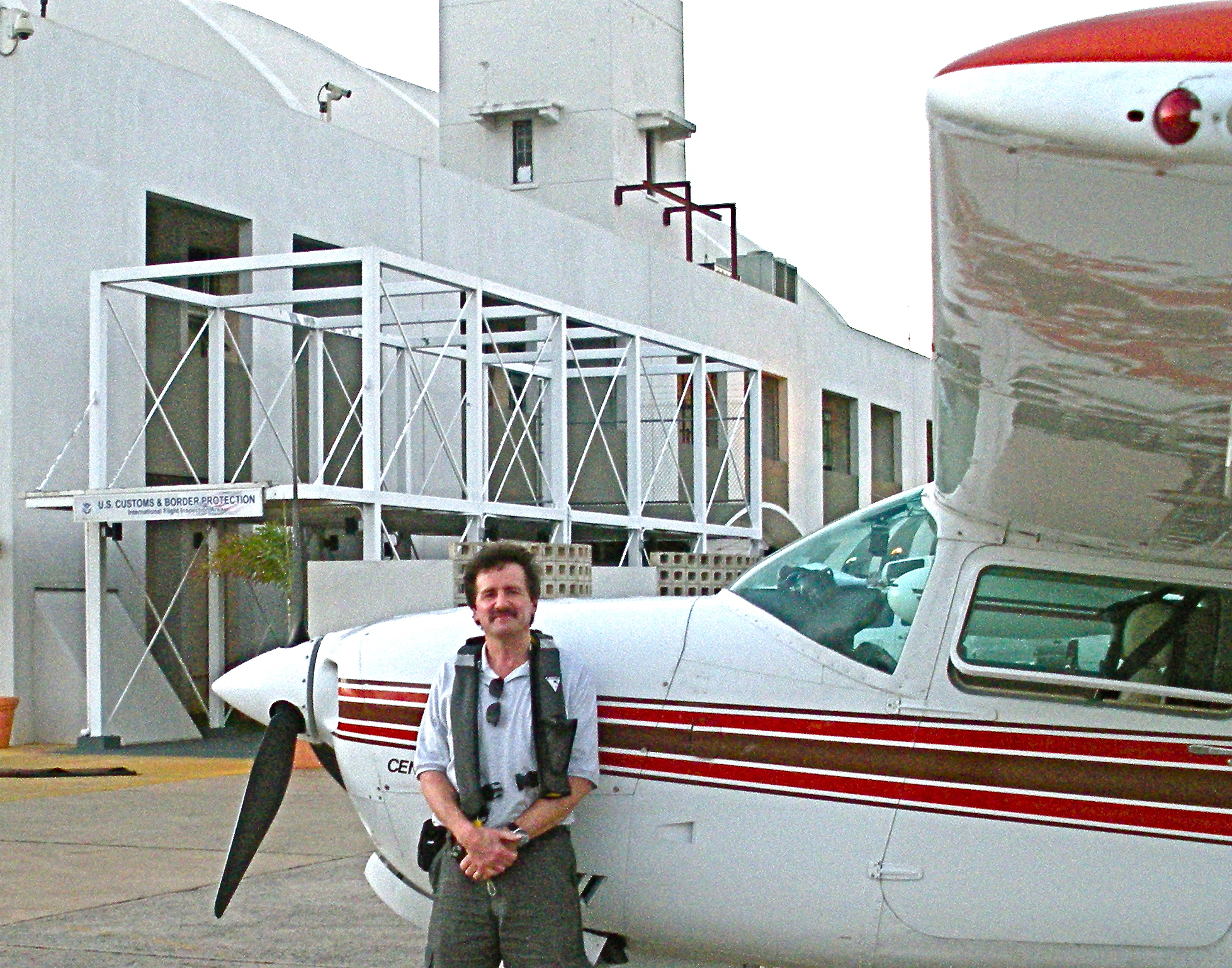
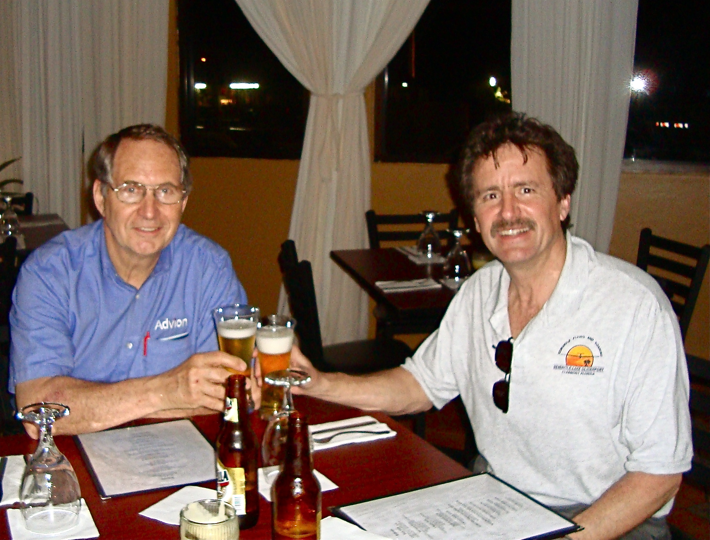
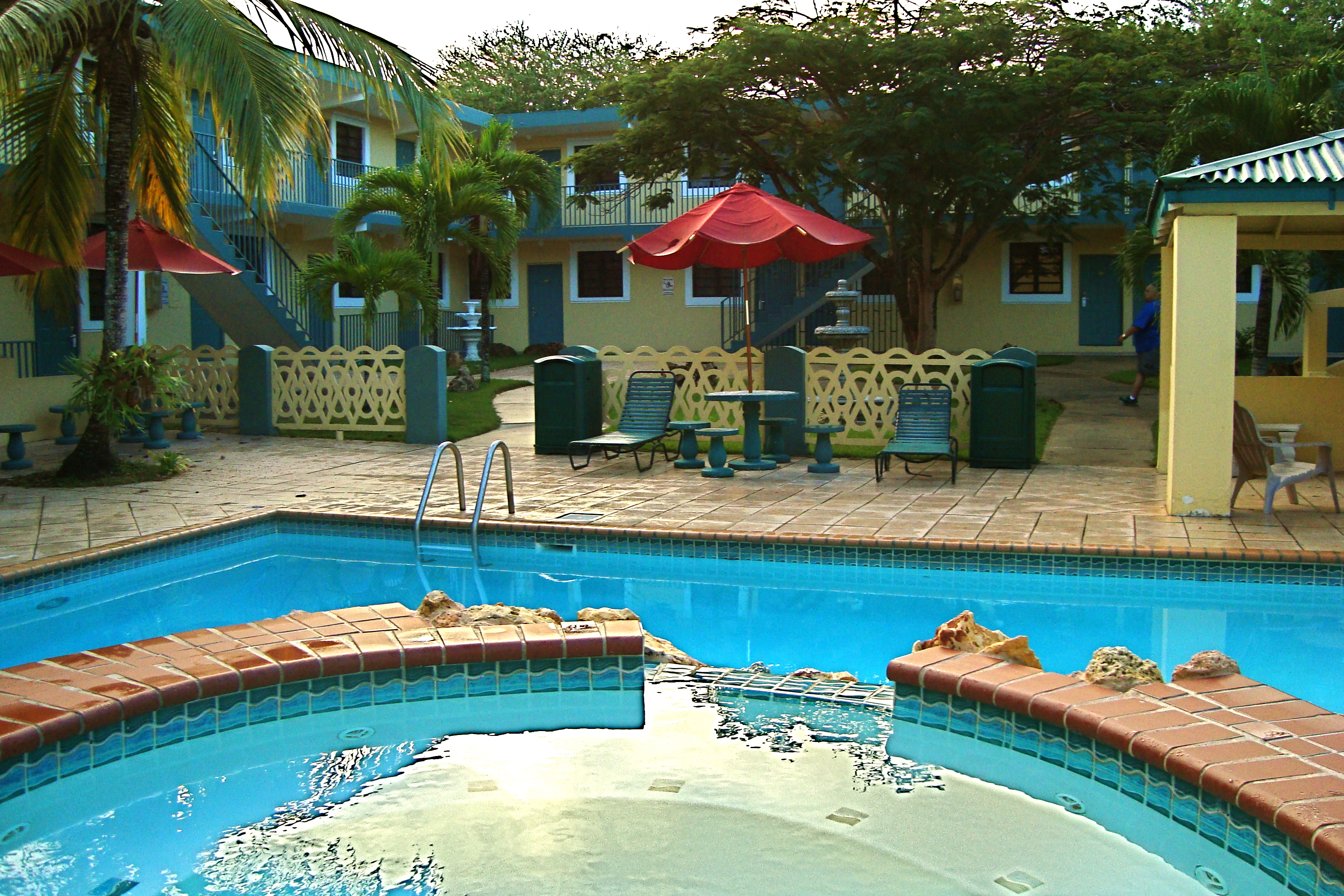
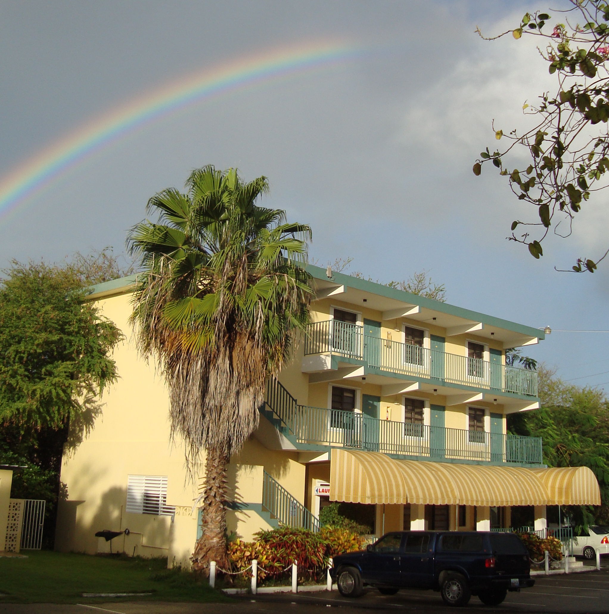
Borinquen is the longest runway in the Caribbean (11,702' X 200') and the former Ramey B-29 base. The fuel here is currently only $4.29 a gallon and it turned out to have a great FBO, Western Aviation, with the amazing Velia M. Ortiz. She wrangled us a car on short notice so we could drive up and see the Arecibo Observatory in the hills of Puerto Rico. Their recommended hotel, "La Cima," was very comfortable and even had a sports bar for the Super Bowl on the return trip. On the outbound trip this stop allowed us to comfortably get all the way to Antigua on the next leg.Throughout this trip we had great luck and discovered and enjoyed the company of many wonderful people.
Arrival in Stella Maris on Long Island: "Airport of Entry" into the Bahamas
 |
 |
 |
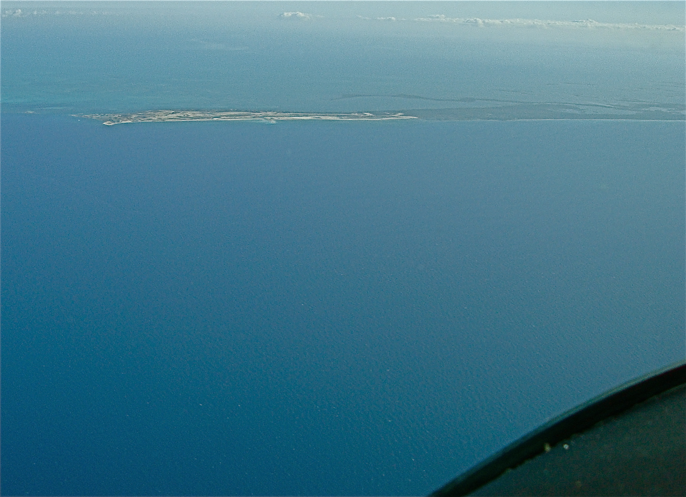
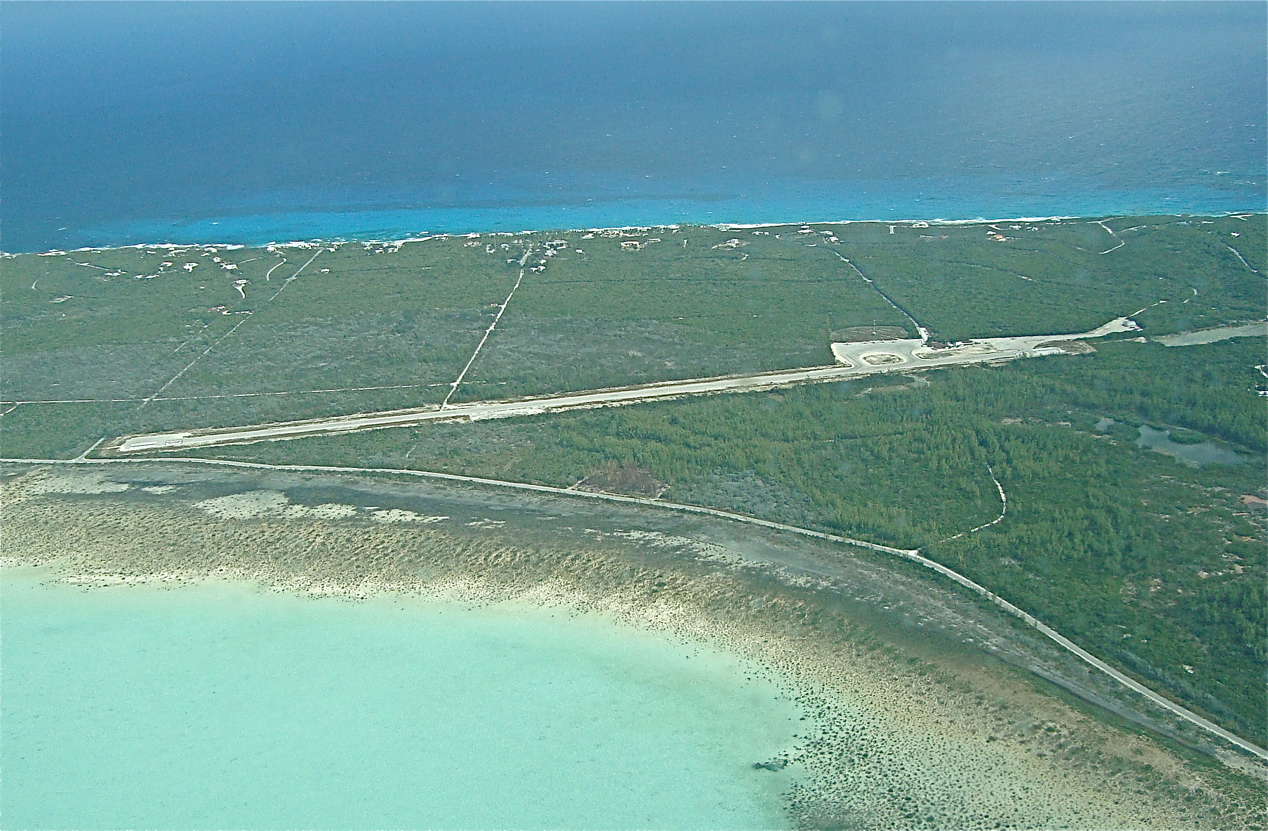
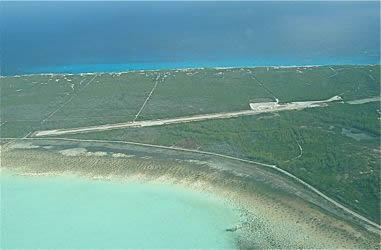
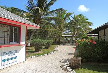
| Stella Maris airport on Long Island. This is a private field. They have a fleet of aircraft to shuttle in guests to their resort. Not much at the airport but a welcome sight. |
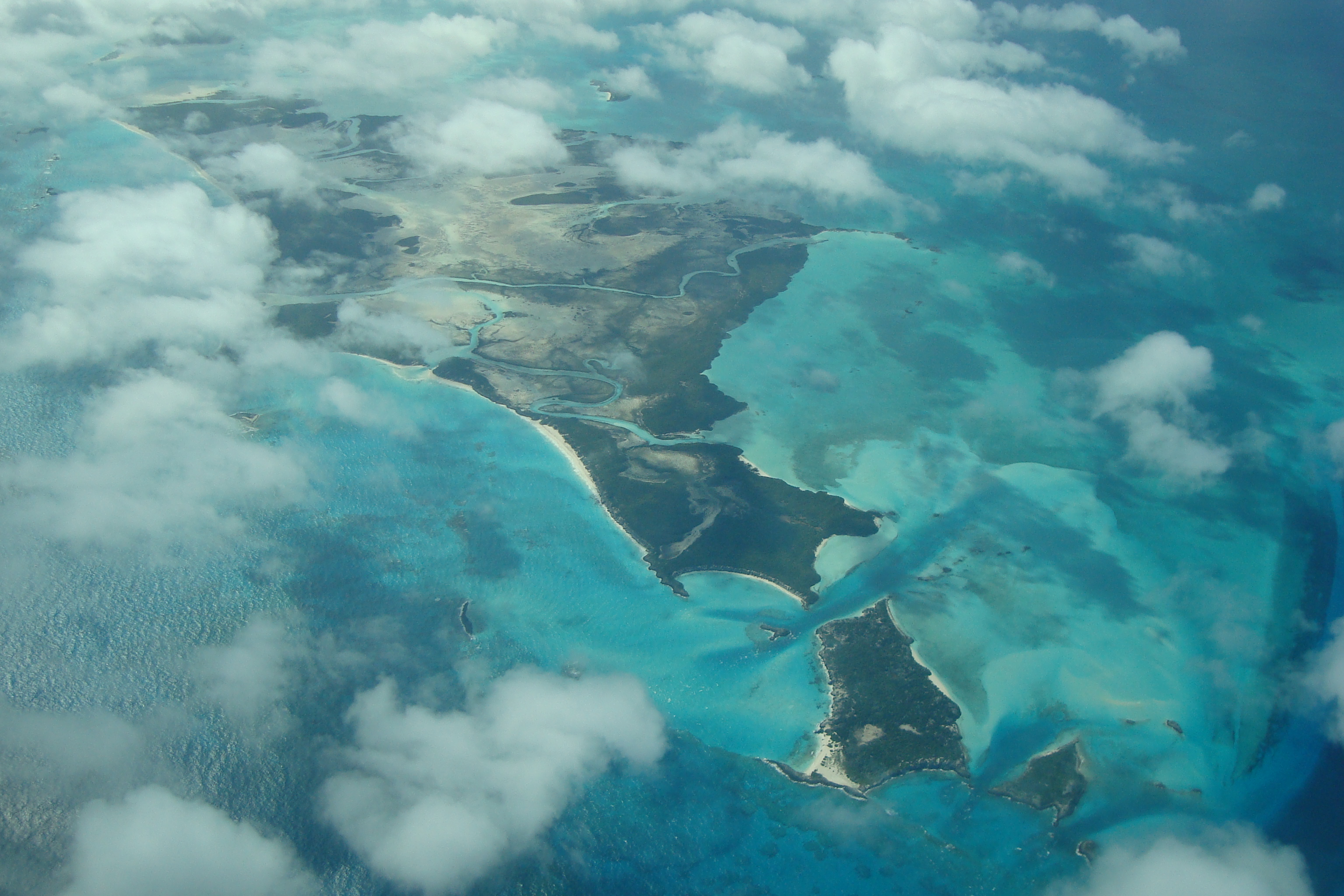
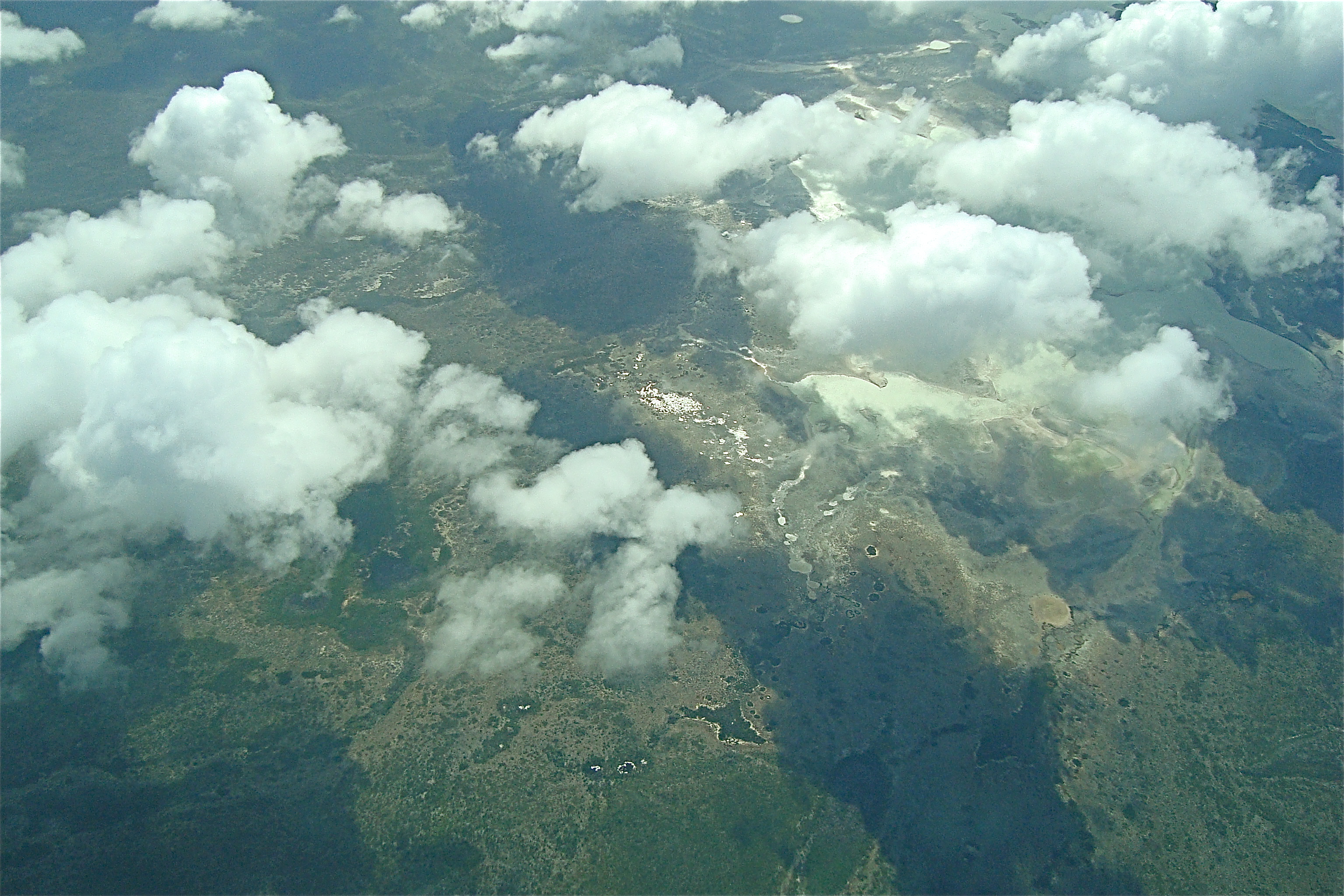
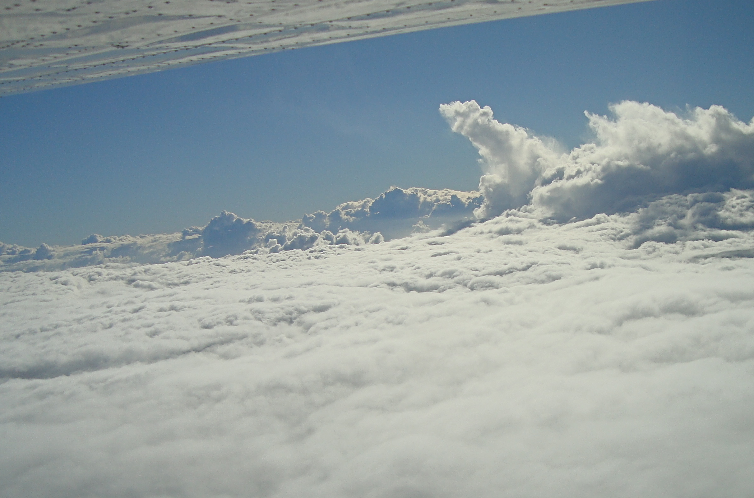
Most out islands are pretty unpopulated. This is a capture from a video so it looks like a 50's horror film. |
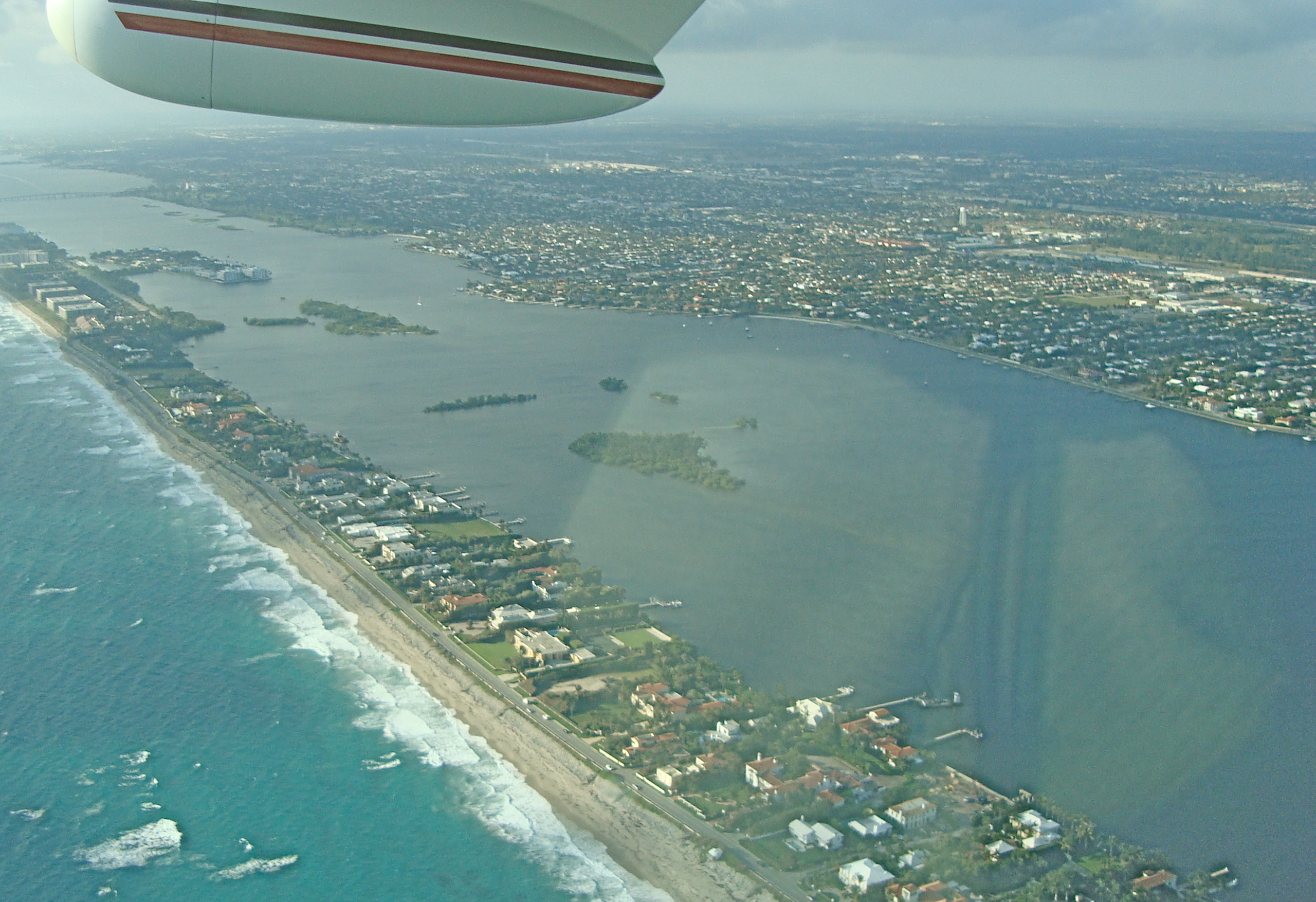
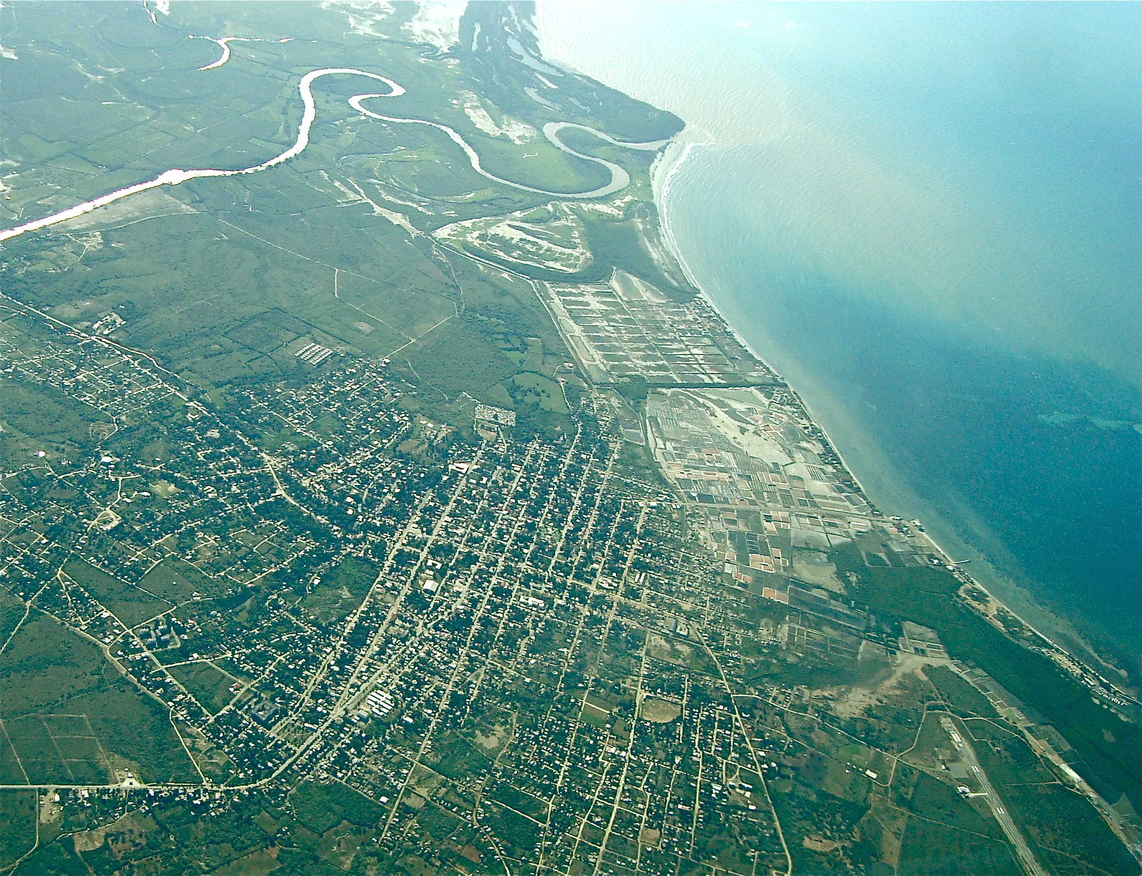
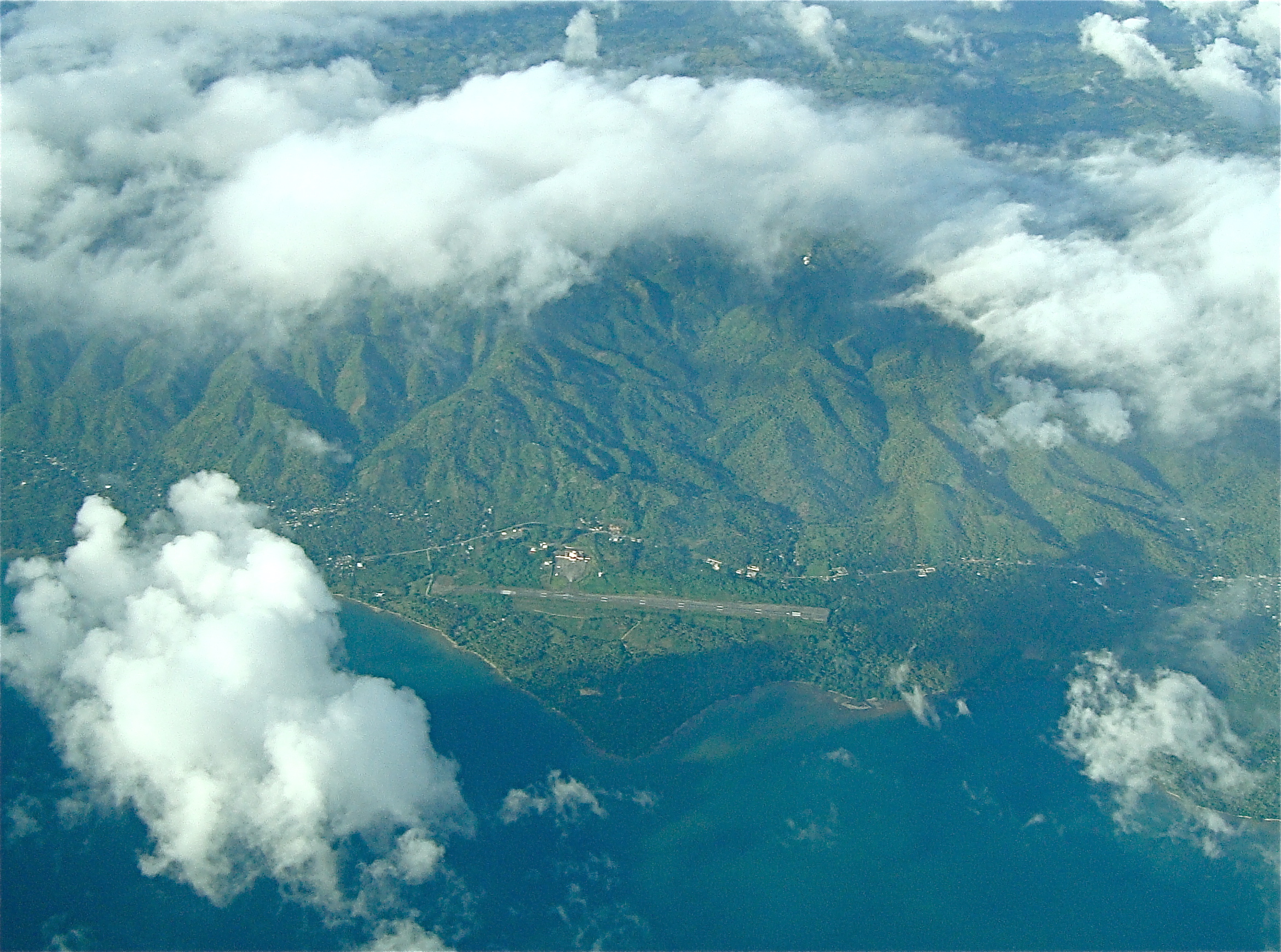
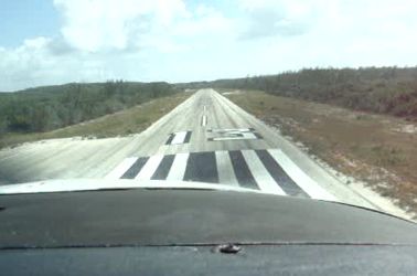
On dry land again. 2.5 hours from Florida over water but often within gliding distance of something solid. |
 |
 |
 |
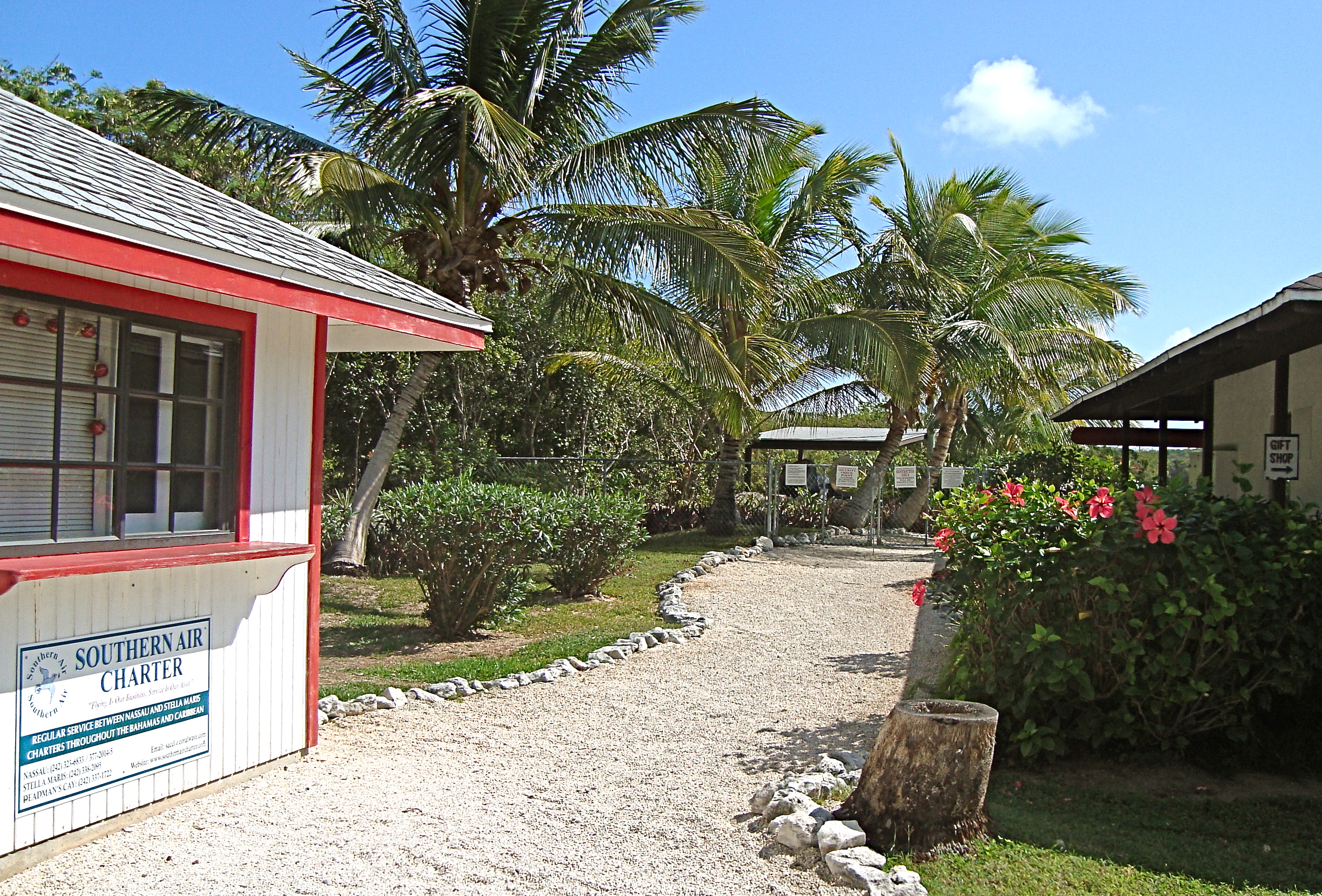
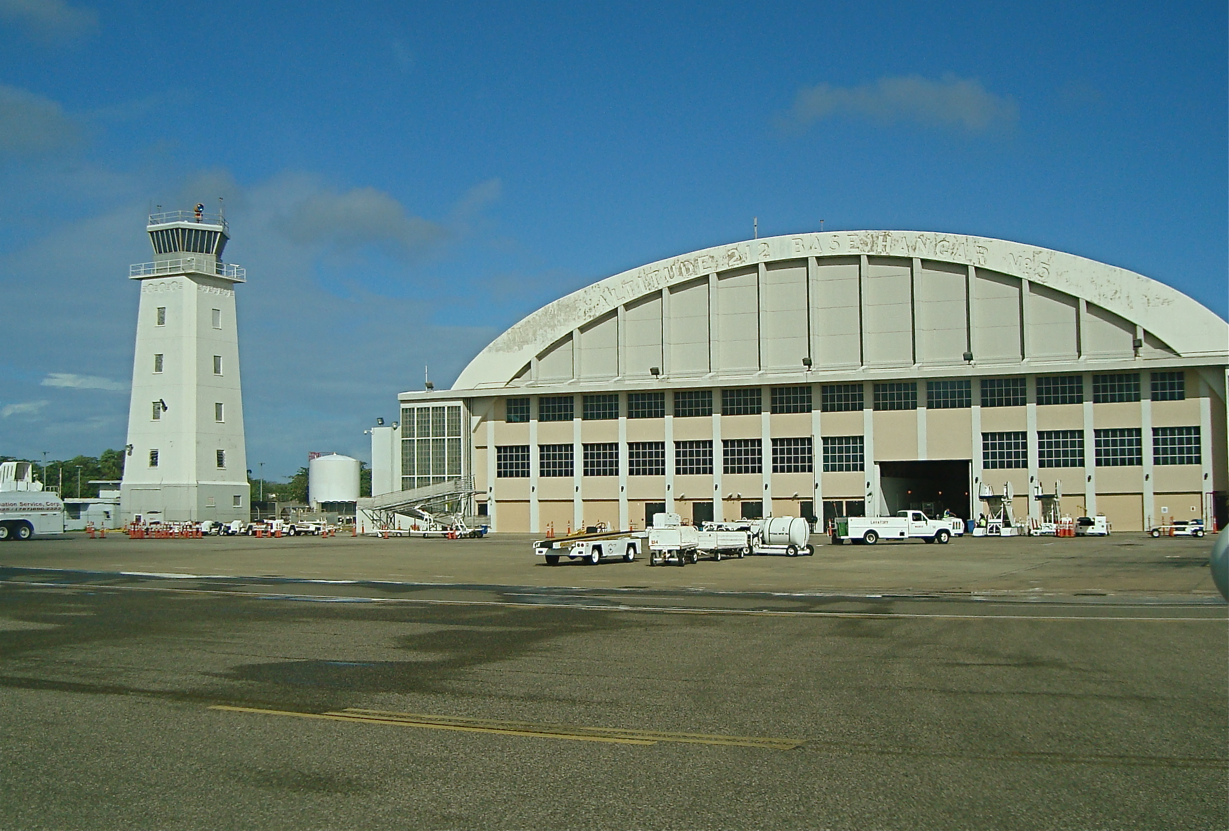
| There are three charter operators here. Clearing customs requires six "C-7" forms, 3 into the country and 3 to depart but the officer was very friendly. |
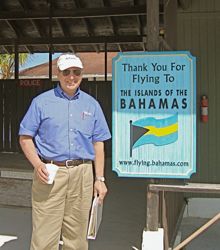
The Bahamanian flag and thank-you. Quite an oasis here with water and sodas cold in the fridge. |
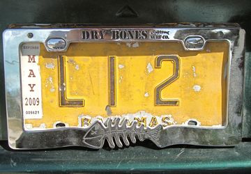
A classy local truck plate in the Bahamas. |
 |
 |
 |
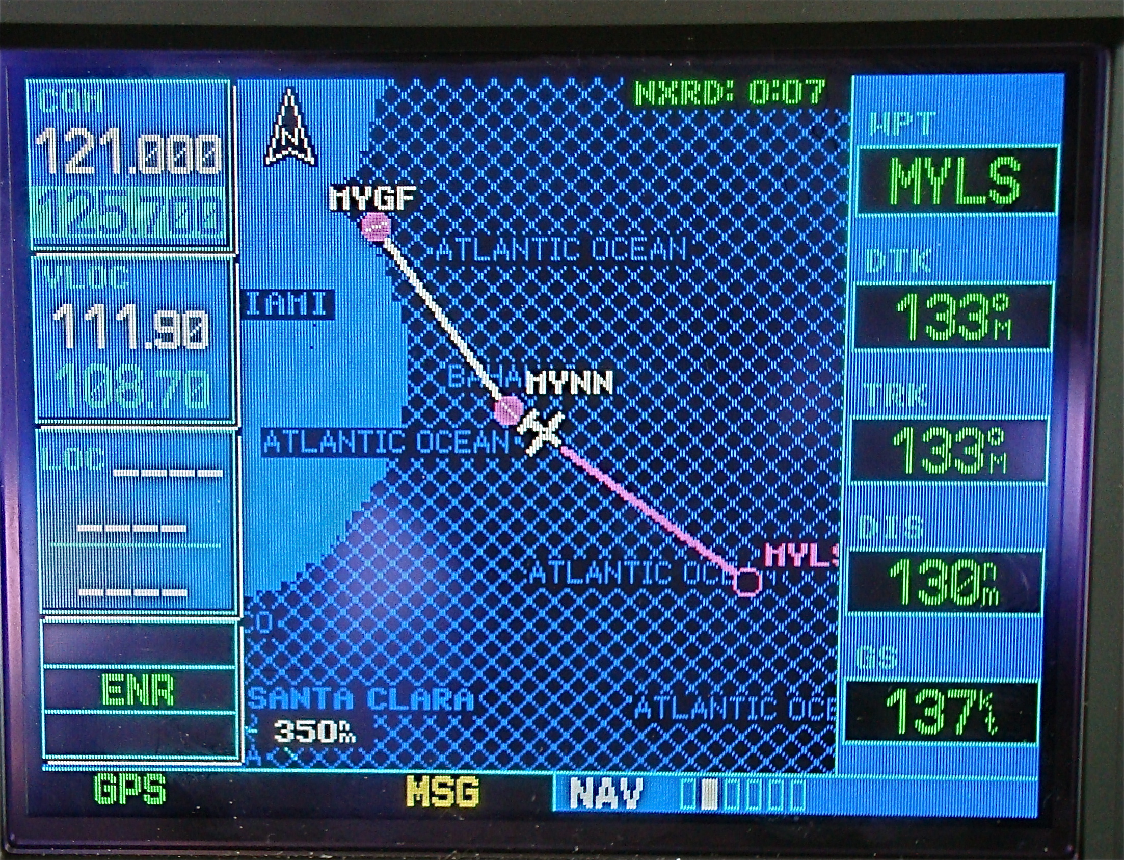
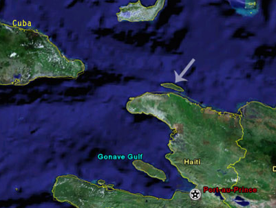
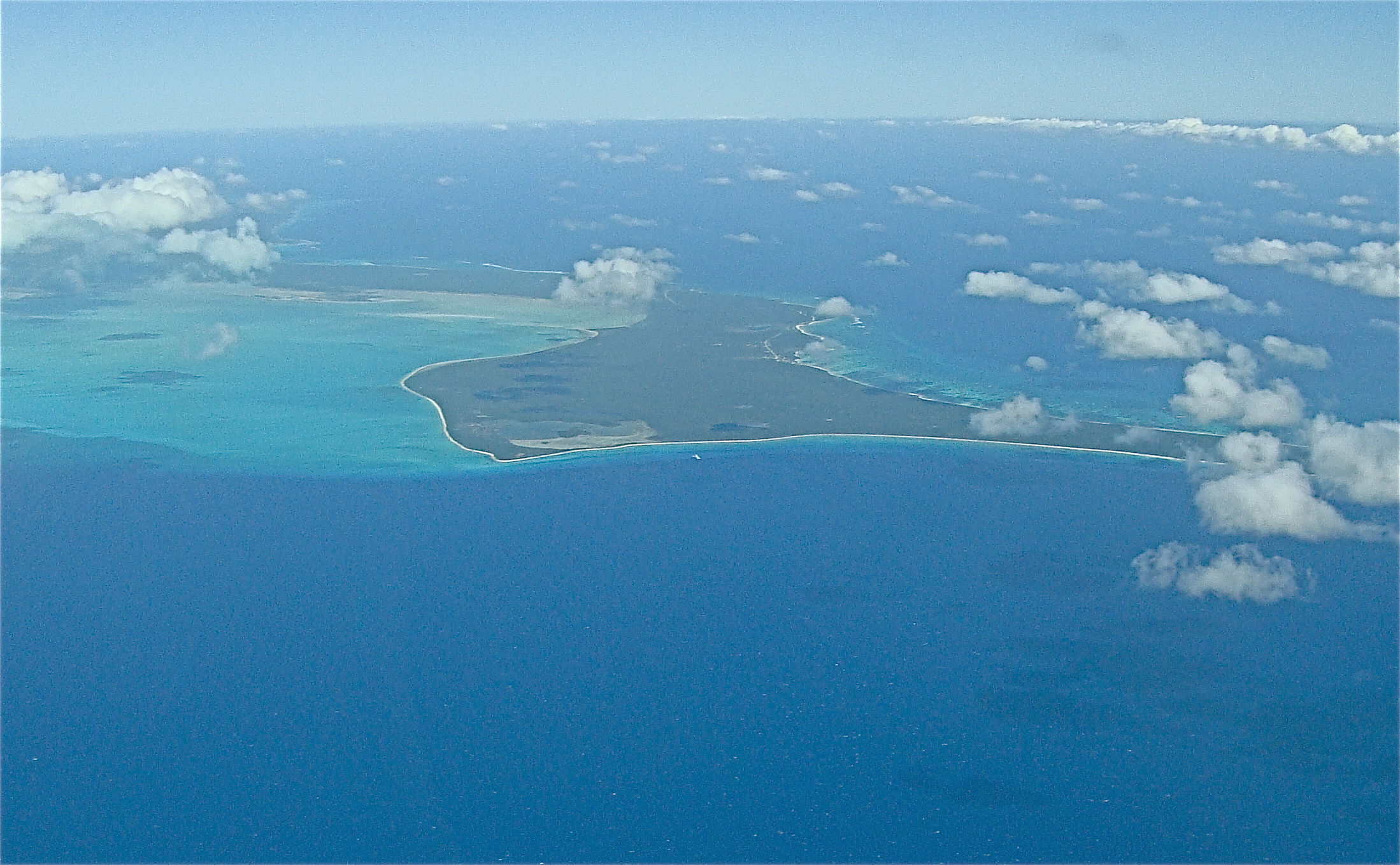
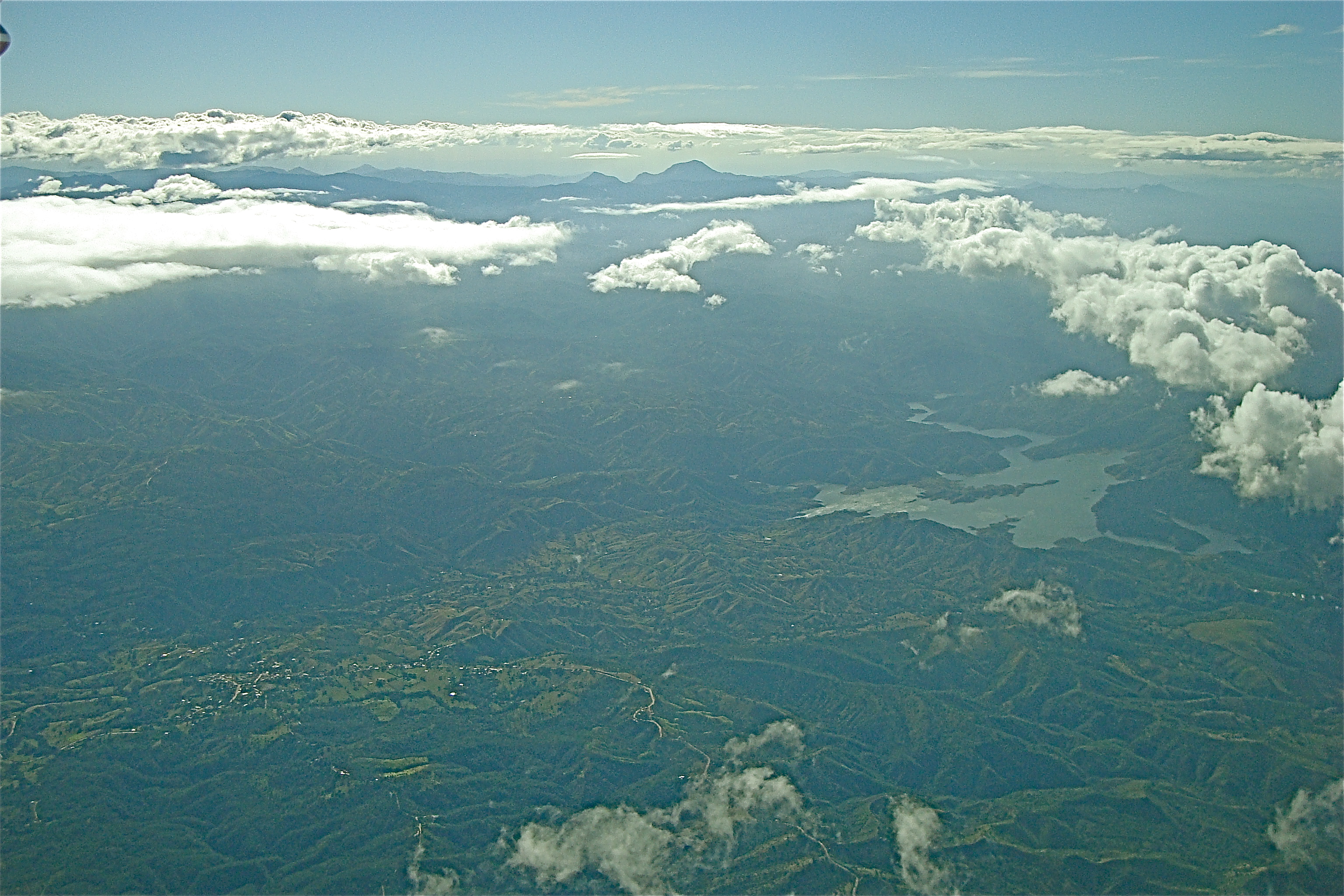
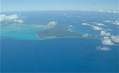
| Passing south of Long Island for a long over water stretch to Great Inagua. THis route will be near to Cuban airspace. |
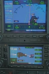
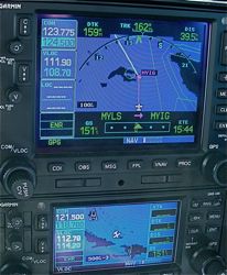
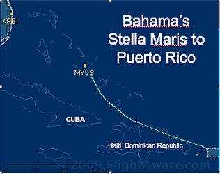
Our track south with Cuba on the right. The green line is the boundary. The phone and the cells dead at Stella Maris so filing in the air is our only option. |
Here is the Flight Aware track of the flight. Interestingly, Miami was not able to see us for most of this route...someone was apparently watching! |
| Pilot Note: Cell phones are not too reliable in this region. We had two local phones and one international cell and none were getting a signal. Unfortunately, the phone on the island was also not operational. We had to file a flight plan (IFR or DVFR) and also had to notify customs. Flight Service was unavailable on all the frequencies we found and were given by Miami Center so they agreed to file our plan and notify customs (a one time exception he said!) |
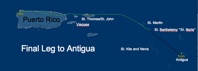
Departing Puerto Rico and Over the Virgin Islands to West Indies and Antigua
 |
 |
 |
| Showery precipitation was on the menu for Wednesday with storms coming in over the north coast. An extensive briefing, and tour guide advisory of Caribbean required an IFR flightplan |
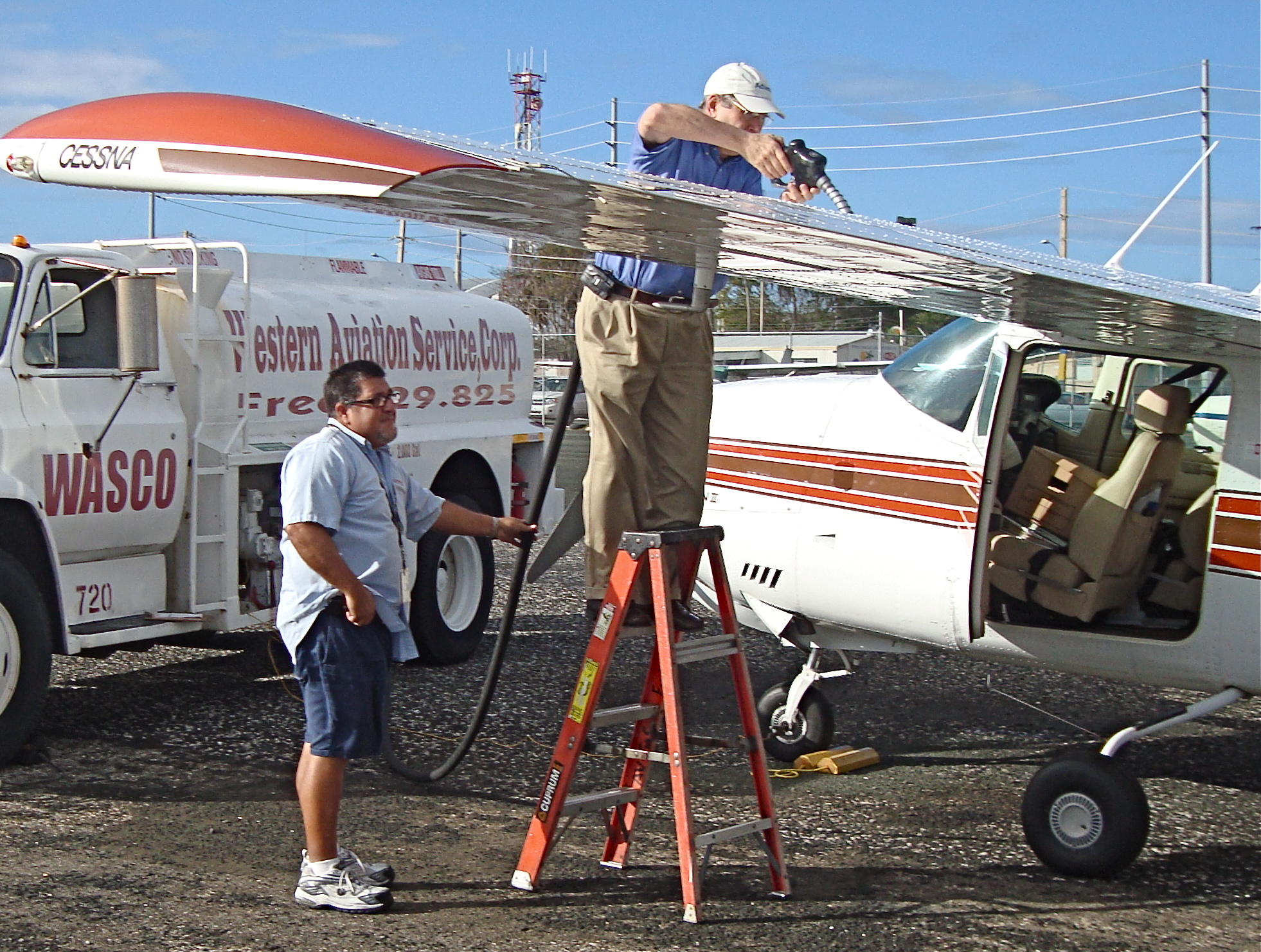
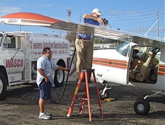
Fueling a C-210 is an art if you want full range and all 89 usable gallons. This plane hauls a huge load and burned 11-12 gph (7 hours endurance + reserve) |
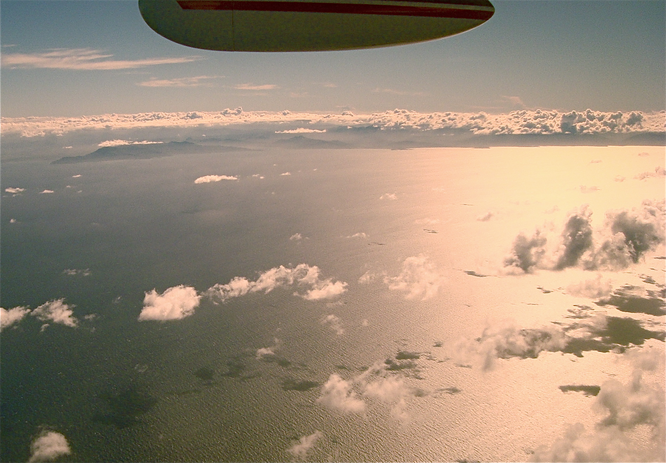
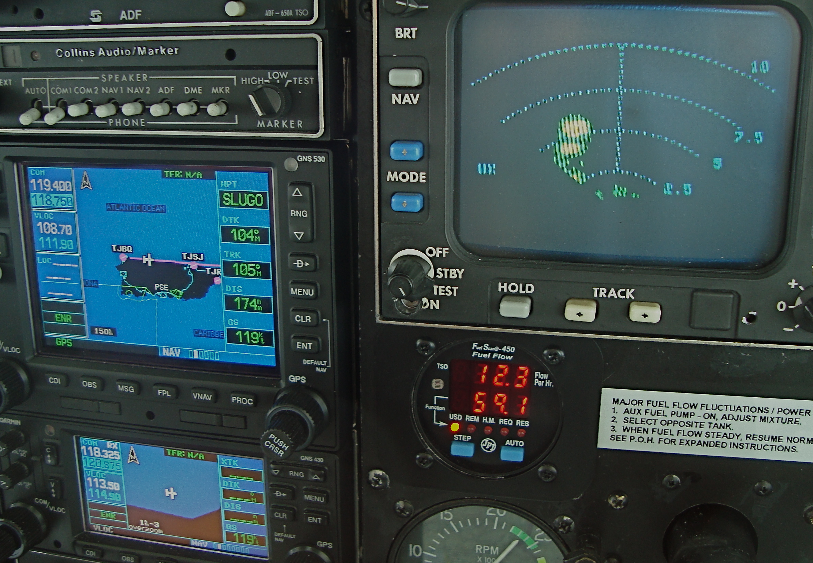
Nexrad was not available on the Garmin today but on board radar was painting a show and allowed us to miss the big stuff coming off the north shore. No photo tour of El Moro or Arecibo Radar Site. Notice our headwind of 28 knots. |
| Pilot note: For filing flightplans in this region many unique requirements exist...color of life vests and their lighting (strobes or beacon). The size, color and capacity of the life raft (required equipment) is necessary information. Unique also are the crossing times for various international borders. The briefer I got this day was incredibly good (and funny) recommending certain islands to see and what not to miss. The lack of Nexrad on the Garmin was troubling but the on-board RADAR made this flight work in the presence of convective activity. (redundant systems and fall-back positions are pilot tools) Another interesting problem in a unique area like this is understanding the various accents (see later note) and finding the associated fixes and airways (for IFR). The clouds mostly broke up heading east after Puerto Rico. Position reports were required past the US Virgin Islands. |
 The route to Antigua drawn by Flight Aware (with added line for route beyond radar coverage) This is the Virgin Islands (of various countries) and unlike the Bahamas these are very lush and the water is pretty deep. Ownership of various islands is of a different country (or sometimes two as in the case of St. Martins, Dutch and French). Development is also dramatically different on each island but most of the big tourist destinations have an airport of some kind. The big ones are served by jet charter and the airlines.Cape Air has recently expanded up routes in this area and it is funny to hear the Cessna Twins flying here. The route to Antigua drawn by Flight Aware (with added line for route beyond radar coverage) This is the Virgin Islands (of various countries) and unlike the Bahamas these are very lush and the water is pretty deep. Ownership of various islands is of a different country (or sometimes two as in the case of St. Martins, Dutch and French). Development is also dramatically different on each island but most of the big tourist destinations have an airport of some kind. The big ones are served by jet charter and the airlines.Cape Air has recently expanded up routes in this area and it is funny to hear the Cessna Twins flying here. |
 |
 |
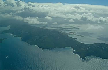 |
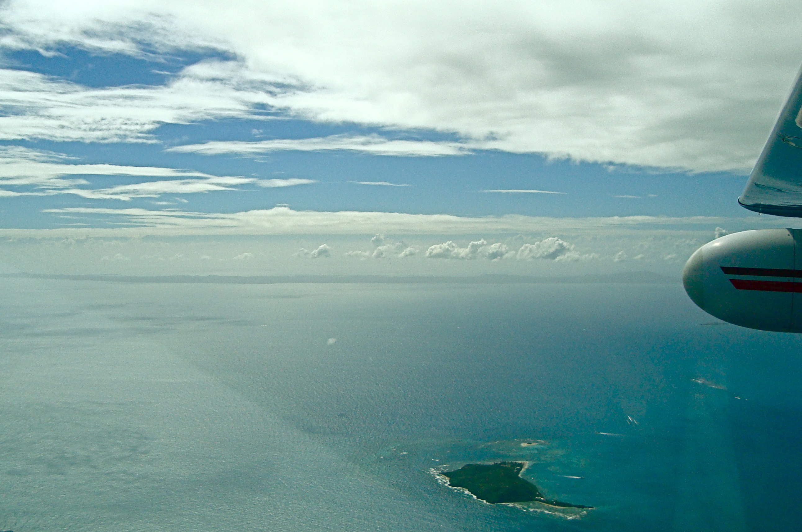
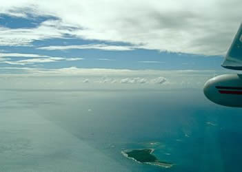
| The Island of Vieques which until recently was used by the US military as a bombing range. It is now hot property for development. |
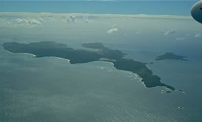
The Island of Culebra. There is a 2400 foot runway on the south side that we speculated would be lots of fun to land on. The beaches on the north side looked wonderful. |
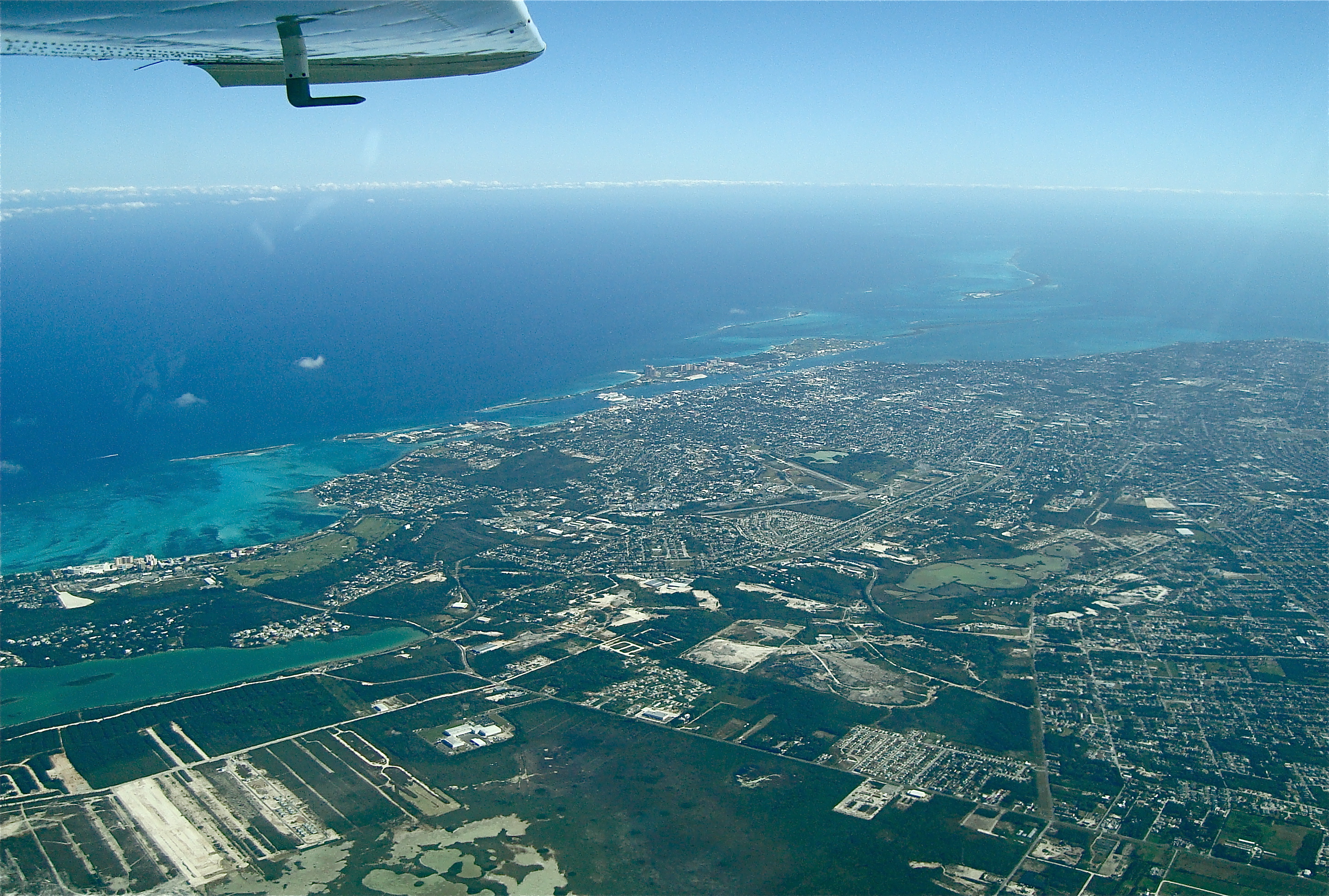
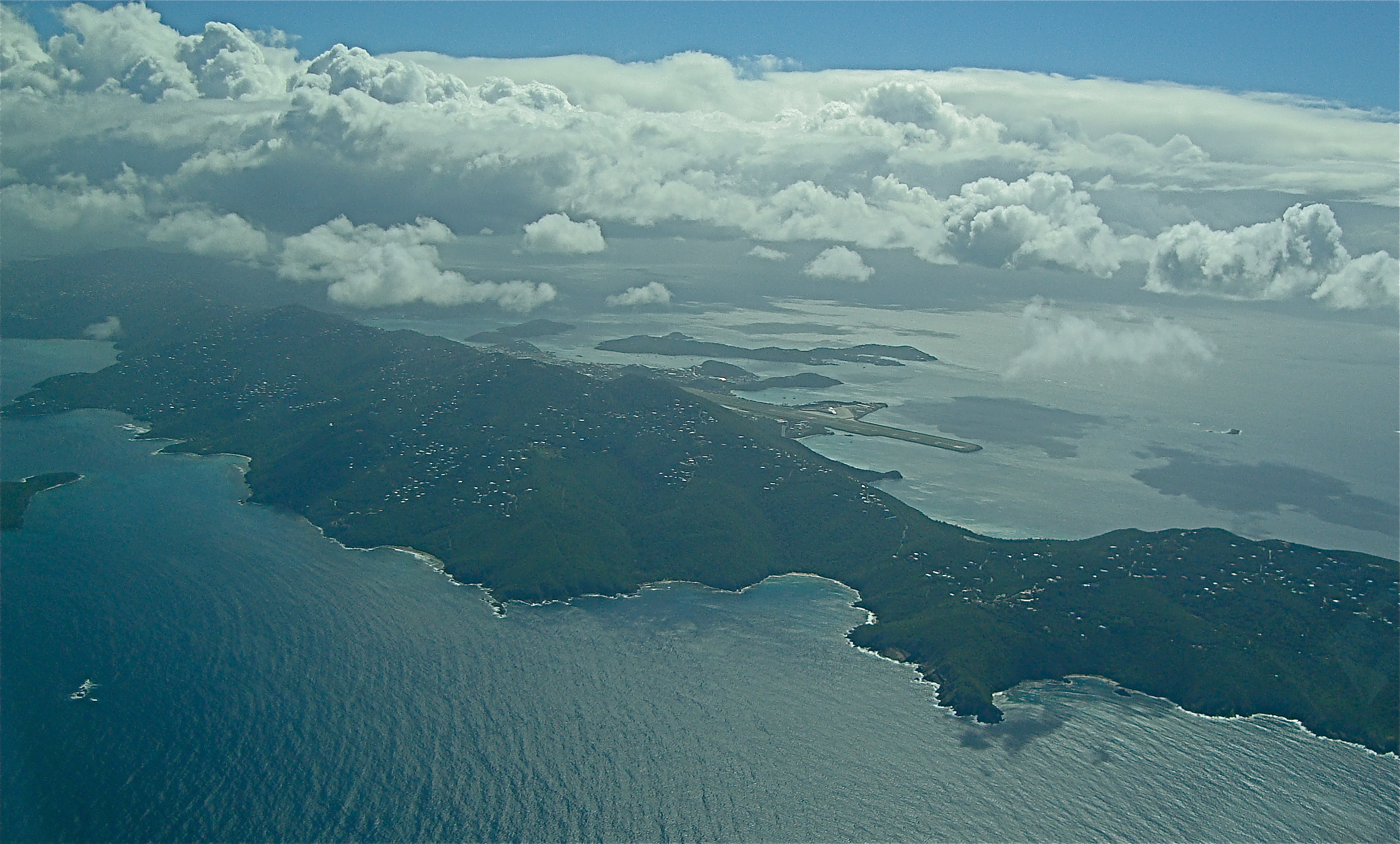
St. Thomas with it's 7,000 ft runway. This is a very popular tourist destination and it looks like many houses are being built up on the ridges. |
 |
.jpg) |
 |
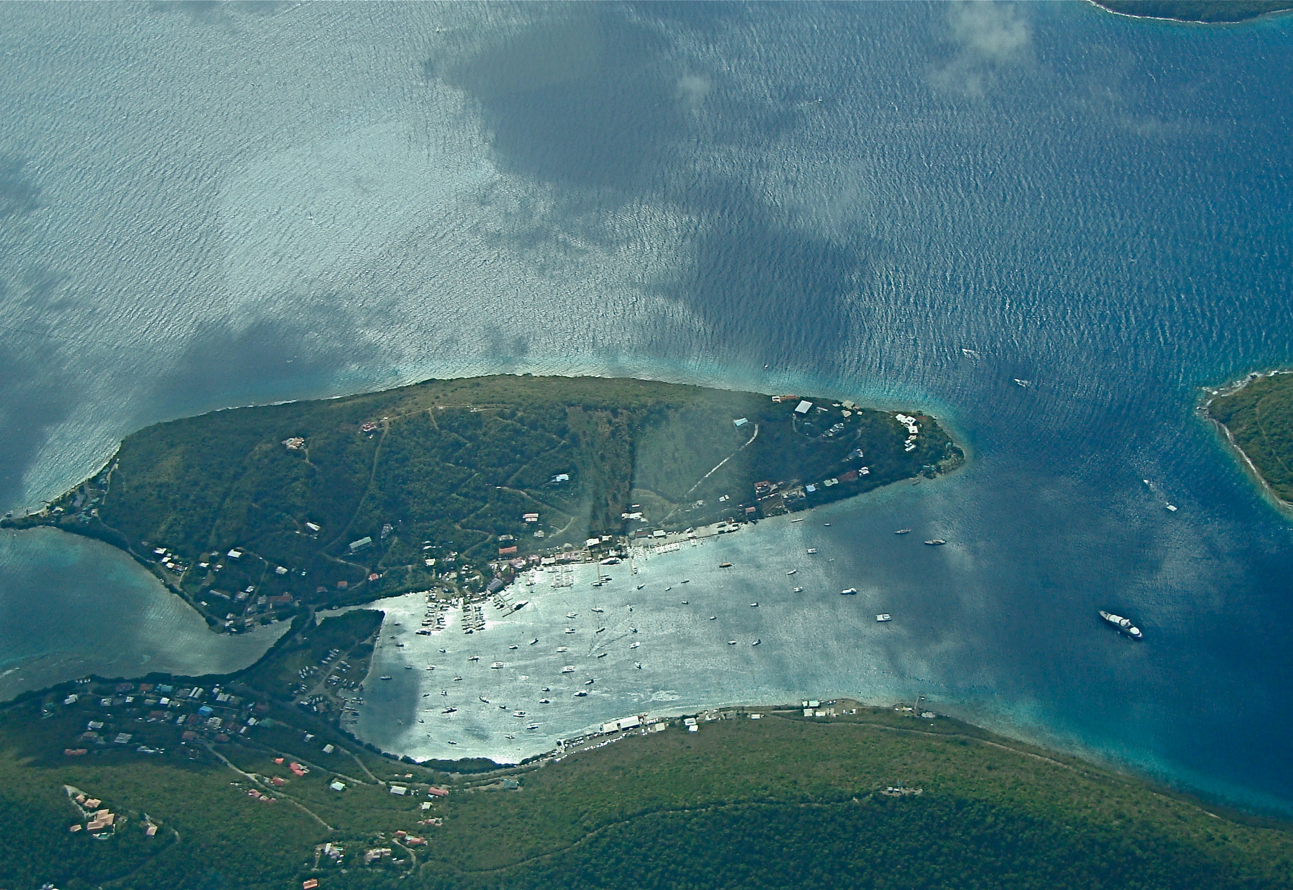
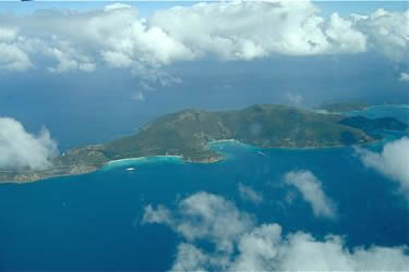
| The island of Josh Van Dyke in the British Virgin Islands. This is a busy destination for cruise ships in the winter season. |
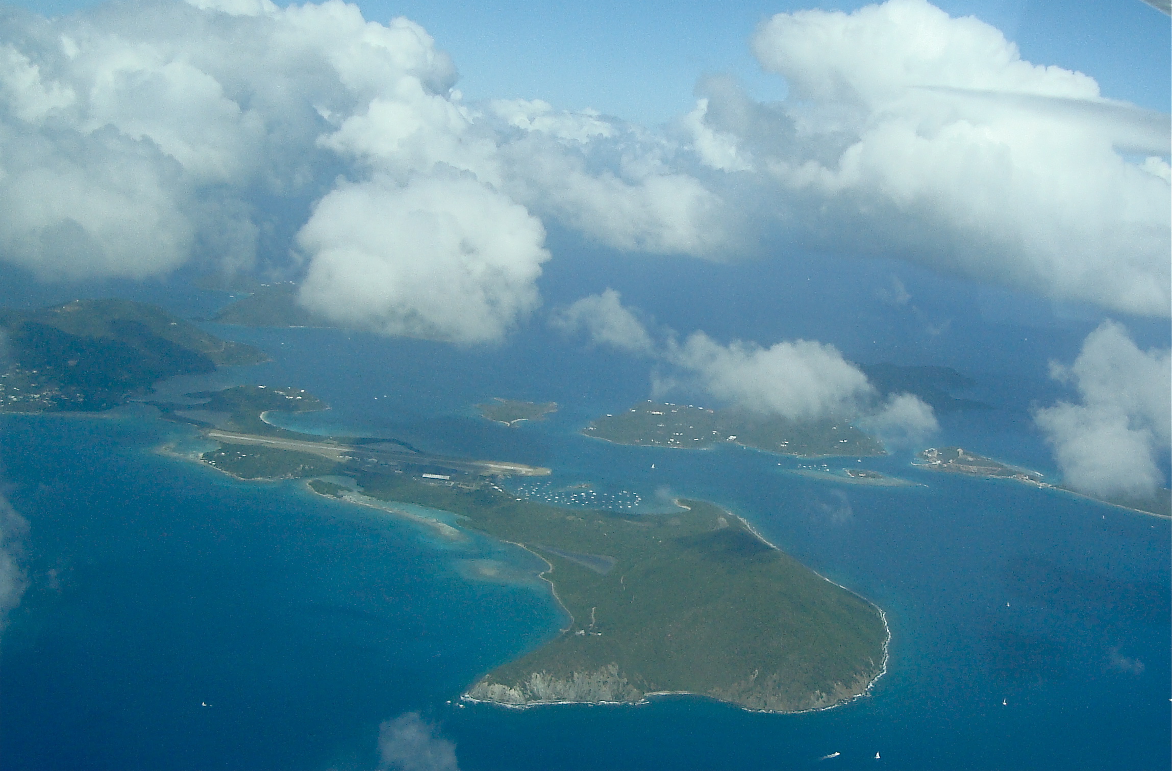
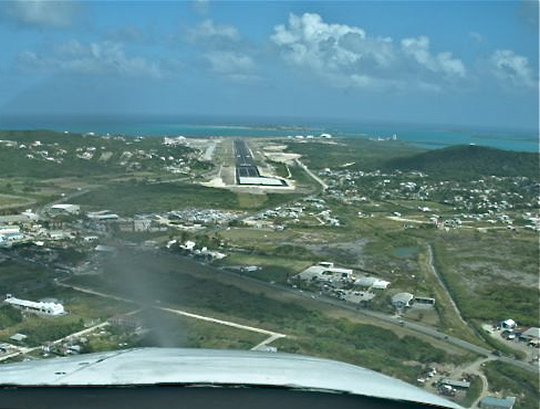
This is Beef Island, north of Tortola with the airport that serves both. TUPJ is 4,600 feet and an Airport of Entry (AOE) for the country. |
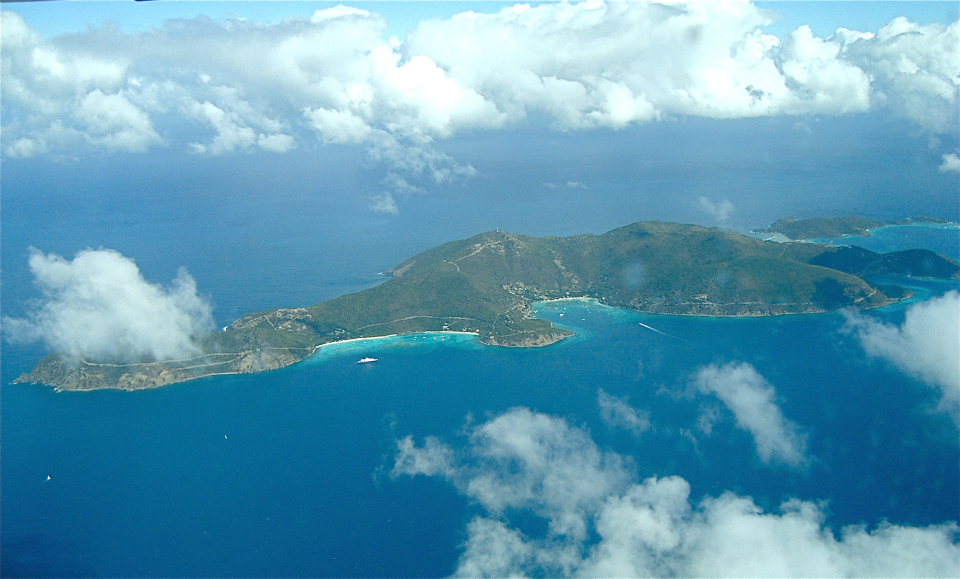
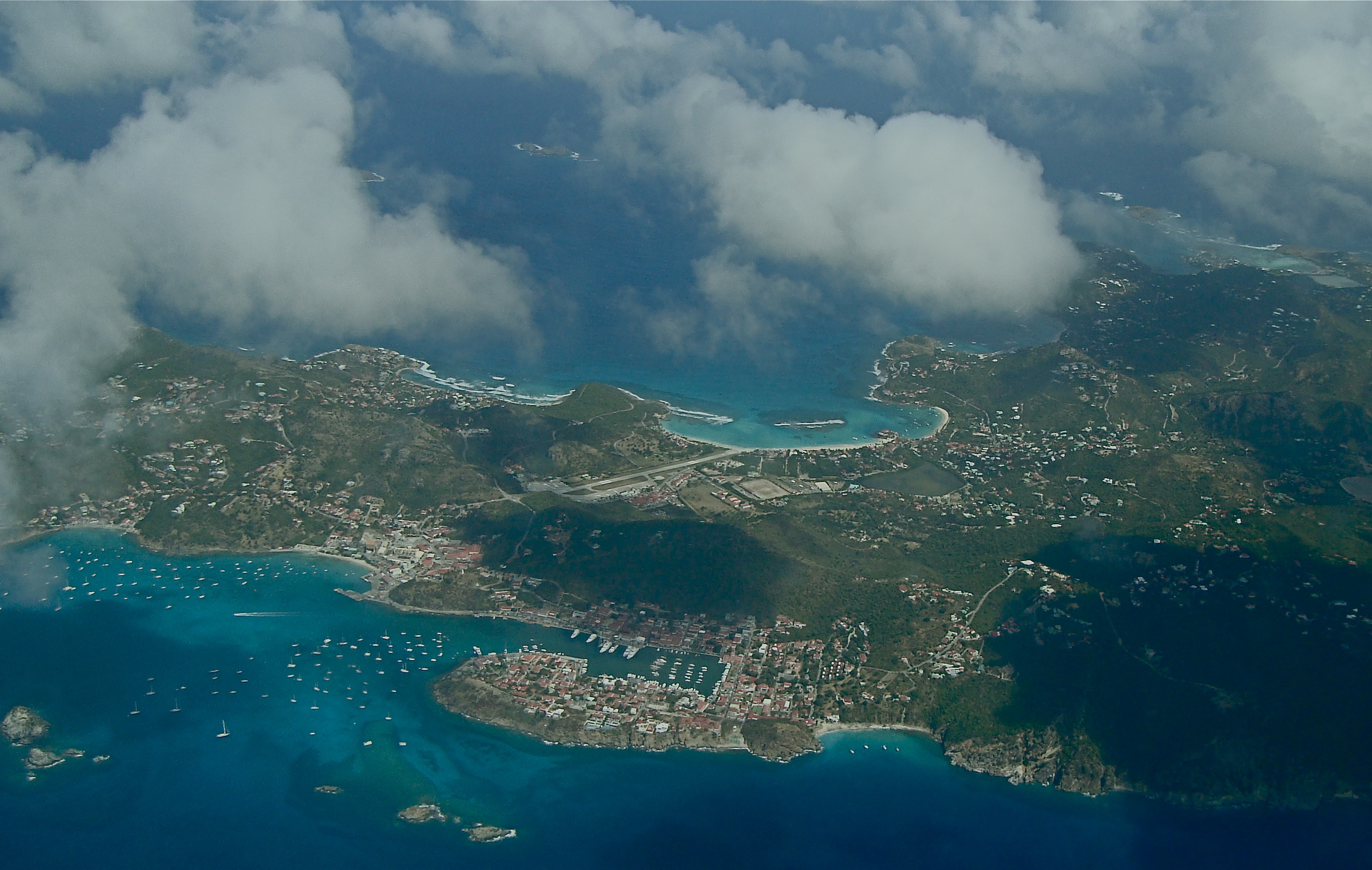
The famous Virgin Gorda. Notice the airport on the east side. With a standard 20+ knot prevailing east wind this must get exciting on landing. |
 |
 |
 |
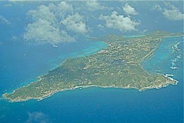
| The southern end of Tortola (British Virgin Islands) and the "Virgin Passage" over to St. Johns (US side) St. Johns is largely unspoiled and preserved |
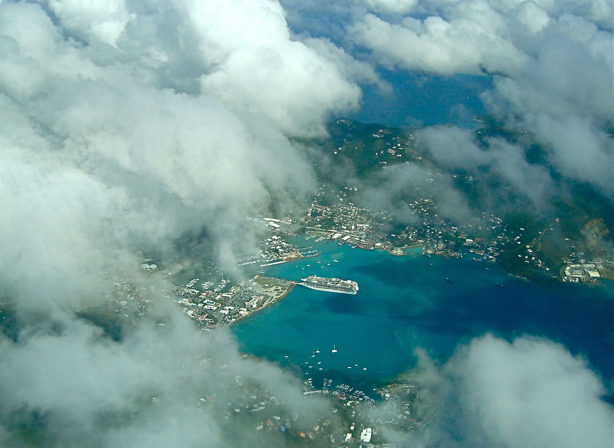
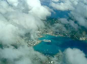
A large cruise ship in the harbor here enjoying the island experience between meals. This is just east of White Bay on Josh Van Dyke (BVI) |
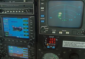
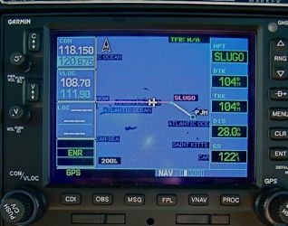
This was a routing change issued by San Jaun Approach: "direct SLUGO" which had us confused for a while. |
| Pilot Note: IFR intersections in an unfamiliar territory can be frustrating to find. When language difficulties are mixed in it becomes a real pain for everyone. The usual request to "spell the intersection" in the case of language does not seem to help. The Jepp enroute for this area is a mess and SLUGO (pronouced sloogo) eluded us for a while. The other popular descent fix into St. Martin is GOUDA (like the dutch cheese). This very busy controller at St. Martin coordinated planes taxiing on the ground, taking off, and vectoring through the clouds. He would not be one to ask to open a flight plan! ATC throughout was patient and professional. My highest praise goes to Miami Center for their helpfulness. |
 |
 |
 |
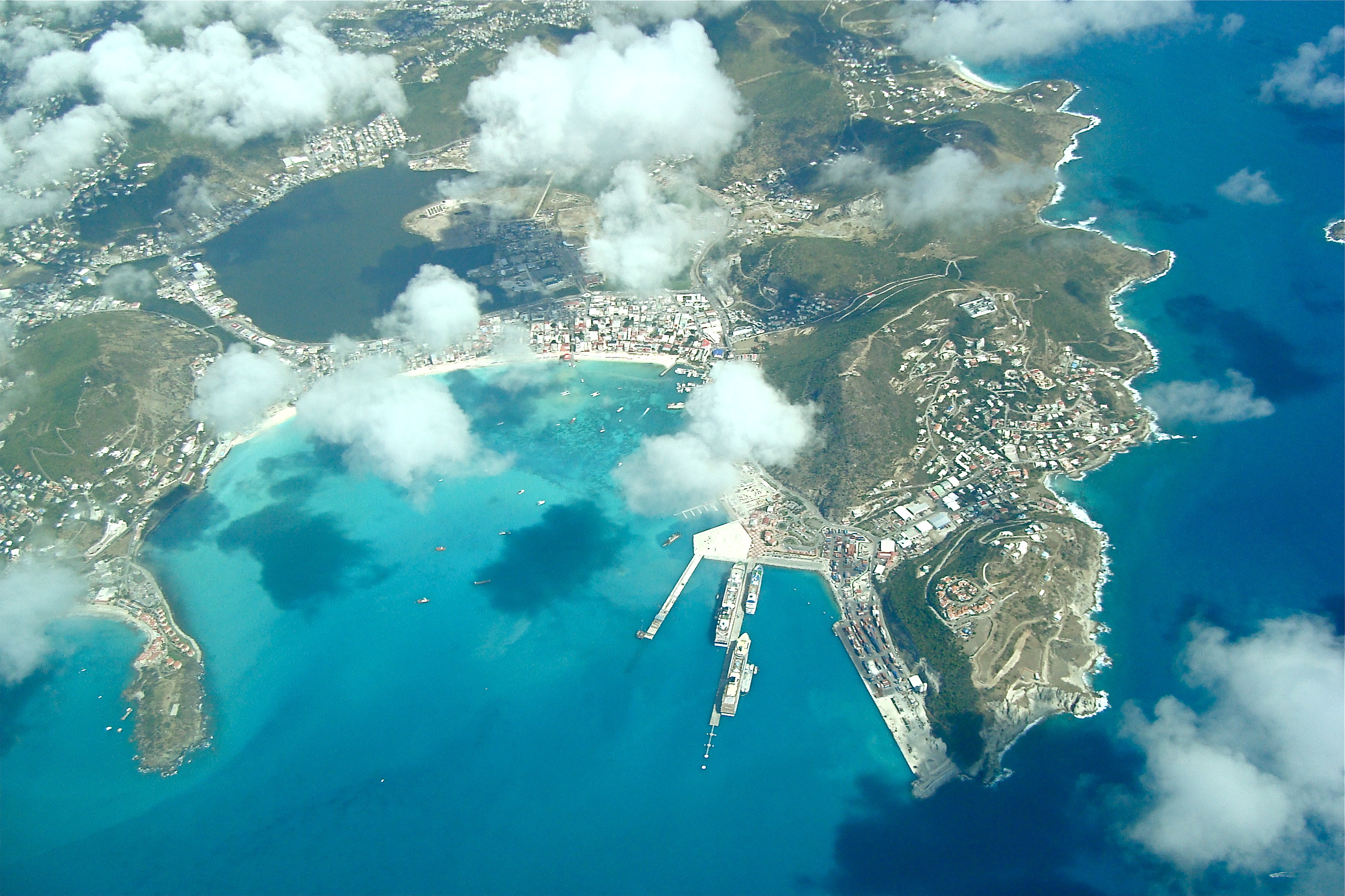
| The Island with two owners: St. Martin (French) and St. Maarten (Dutch). Also a common destination for opulent vacations. |
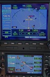
Crossing Pointe A Pitre TCA into Antiguan Airspace. They operate entirely by position reports here and full approaches are necessary (we flew a full DME Arc) |
Final approach into Antigua (TAPA) Runway 08 with our usual 24 knots of headwind. |
 |
 |
 |
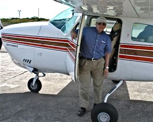
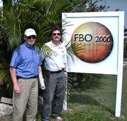
| A dream come true, flying your own airplane to Antigua! |
On the ground but still lots more to do with "handlers" and customs. This is a unique paperwork experience. |
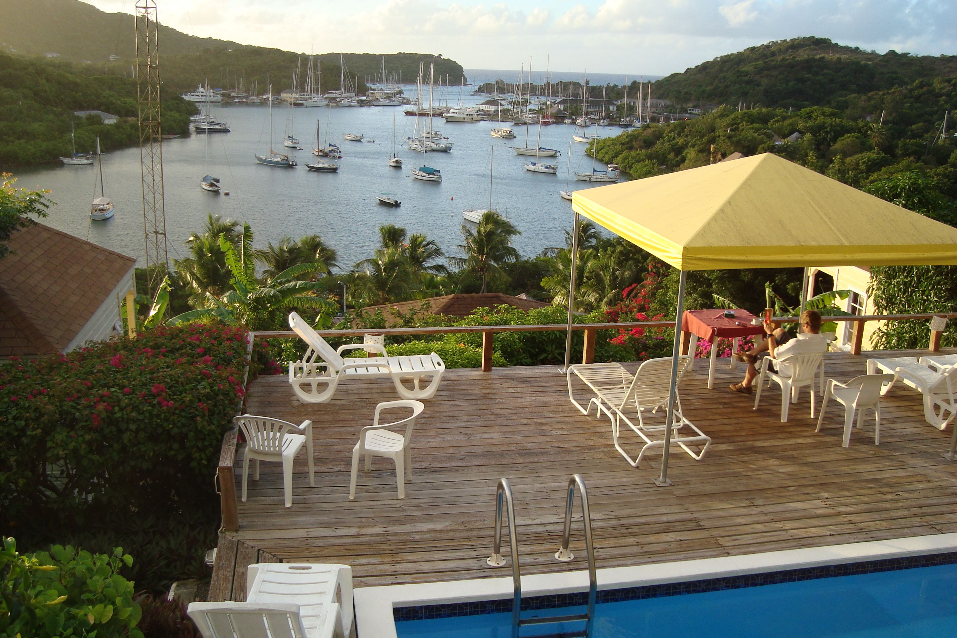
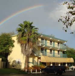
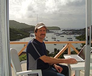
I recommend the Ocean Inn at English Harbor. There are lots of trails and historic sites from the British occupation. |
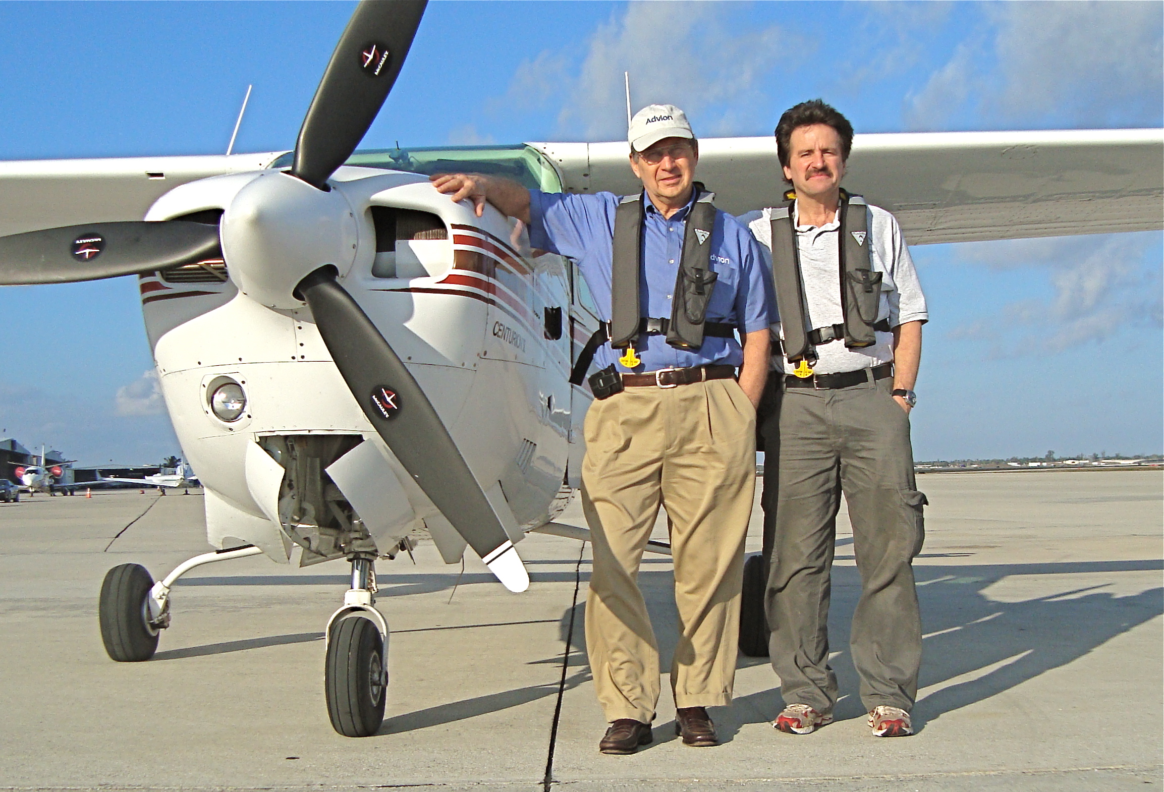
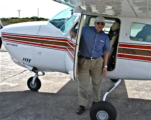
 This all began for me one day in the middle of a nasty Ithaca winter when Jack said, "I'm thinking about flying to Antigua!" There was the usual discussion and admiration of past C-210 trips. The subsequent proposal to fly along and help out took me about a nano second to accept!